
Needham Block Records for Neighbors
For the immediate area around one Needham address, each Needham source answers a distinct geographic question. Needham parcel tools show the mapped lot. The Needham assessor offers a fiscal-year property record. Norfolk Registry plans and deeds concern Needham legal-land interests. A Needham Town Clerk request can reach public street-list material within its limits. None of these sources is a complete Needham neighbor roster.
| Block source | What it shows | Access |
|---|---|---|
| Needham WebGIS parcels | Needham parcel shapes, layers, selected parcels, and map labels. | Public Needham viewer with a display-data caution. |
| Needham assessor | Needham fiscal-year owner, location, value, sales, and building fields. | Public Needham Tyler portal. |
| Needham parcels at the Norfolk Registry | Needham legal lots, abutters, easements, and recorded transfers. | Official index and image route; printing or copies may cost. |
| Needham Town Clerk street-list material | Needham public fields at the list date, subject to protected-field rules. | Needham request route; not a statewide browse. |
| Needham building permits | Needham address-keyed project and status information where released. | Public Needham ViewPoint search for covered permits. |
| Needham Town maps and civic pages | Dated Needham district, map, and public organization context. | Needham town pages, not a private-membership directory. |
The Needham WebGIS entry point is shown here for neighbors research by parcel and map layer.
Use the Needham map to describe a Needham adjacent parcel on a stated map date. Do not convert that geographic relationship into an assertion that the Needham owners or people at the addresses know one another.
Note: Record Needham parcel IDs, active layers, and the map date before comparing a Needham WebGIS result with another official source.
Where a Needham parcel lies near a town edge, use the Needham map and assessor record together before continuing. If the Needham address or boundary remains uncertain, the legal description and recorded plan are the better next check. A postal label alone cannot settle the Needham town or lot question.
Map Needham Neighbors by Parcel
Start with a Needham address, not a name. Locate the target Needham parcel in Needham WebGIS, save the Needham map date and active layer, then identify nearby Needham parcels one at a time. If a road, river, easement, or apparent boundary separates parcels, map proximity is not enough. Check the relevant Registry plan or deed before describing a Needham legal-abutter relationship.
- Search the target Needham address, owner, or ten-character parcel number in Needham WebGIS.
- Open the Needham parcel layer and use Identify or selection to inspect the surrounding Needham parcels.
- Record each Needham parcel ID, location, Needham map date, and visible data disclaimer before opening another record.
- Use the Needham assessor portal for the distinct fiscal-year property display for a selected parcel.
- Use a Registry plan or deed only where the Needham question is about a legal lot, abutter, transfer, or easement.
For a longer named-road workflow, the Needham street directory follows the address chain beyond the immediate block.
Print or download a Needham summary only when the active layer and result date are clear. Needham describes its GIS display data as potentially incomplete, inaccurate, or not current. A saved Needham map should therefore be read as a dated view, not a survey or permanent property record.
Use Needham WebGIS for Neighbors
Needham’s WebGIS help describes Buffer Search, freehand, point, and box selection, along with Identify, Measure, Print/Download, and layer controls. Address search can omit a suffix when needed, accept a wildcard *, and search owner names in LastName FirstName form. Result lists show 15 results per page, and printable summaries can include Owner, Location, and Sales.
The WebGIS Help view is shown here because the buffer tool is the appropriate way to find adjacent parcels without building a social graph.
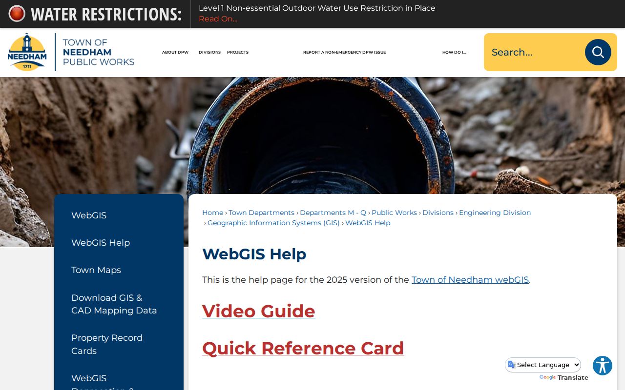
A buffer result is spatial context. Keep the output as “adjacent parcel on map date,” then separately verify any legal boundary against the Registry record.
Use only the layers that answer the stated question. Zoning, wetlands, assessing-neighborhood, road, building, and planimetric layers can provide useful context, but each carries a date and purpose. Adding more layers does not create a fuller picture of private lives.
Needham Neighbors: Parcels and Owners
Needham’s assessor and GIS systems are useful together, but neither is a resident register. The assessor supports address, owner, parcel, real-property, sales, and advanced search modes. A property card can show an assessed owner, mailing address, situs location, fiscal year, value, sales, exemption, building characteristics, and deed reference where displayed. The Registry is the legal-instrument source, while GIS is the map display.
An assessed owner may be a trust, entity, or person with a mailing address elsewhere. A homestead exemption, if displayed, is an owner-occupancy-related fiscal indicator, not a universal present-residence finding. Absence of an exemption does not establish a vacancy or who is at the address.
Needham neighbors research should keep “assessed owner,” “recorded party,” “mailing address,” and “occupant” as different fields. A Registry transfer may also involve a mortgage, release, easement, probate instrument, or partial interest. Record the instrument type rather than calling every entry a sale.
Note: Label every property result by its fiscal year and source, and do not call an owner record a complete household record.
Needham Civic Groups as Public Leads
Needham’s official pages identify community organizations and municipal committees, but they do not establish who belongs to a private group. A public officer listing, committee role, or organization contact is a dated civic reference only. No complete verified roster of private neighborhood associations, block clubs, or informal village boundaries was found in the research.
| Public resource | What it provides | Use limit |
|---|---|---|
| Community Partnerships | Town-listed civic contacts, including the Community Council, Business Association, Women’s Club, Rotary, Clergy Association, Garden Club, and historical groups. | A lead to an organization, not evidence that a nearby resident belongs. |
| Our Community Partners | Additional town-recognized partner context. | Use the organization’s own dated public material for any contact detail. |
| All Committees | Municipal committee listings and civic roles. | A term-specific public role, not a neighborhood directory. |
Town Meeting materials identify precincts A through J, but precincts are civic units, not private neighborhoods. A precinct contact cannot prove a personal relationship, household composition, or current residence.
Note: Preserve an organization’s source date and public role, because a town-listed partner is not a private membership record.
The Needham History Center and the local library can provide historical village and organization context through archives, annual reports, yearbooks, and collections. That work is useful for a dated local-history question. It should not be used to infer modern affiliation from a nearby address.
Needham Neighbors, Villages, and Map Dates
Needham Center, Needham Heights, Great Plain Village, and Upper Falls are useful geographic history, not interchangeable modern boundary labels. The town’s maps include assessing-neighborhood codes, school-district material, wetlands, and other layers with their own dates. Use the map date and stated layer instead of treating a historical village name as a current social boundary.
The WebGIS replacement notice is shown here because the former viewer was retired on August 4, 2025. A saved link or older capture may point to the retired system rather than the current ArcGIS environment.
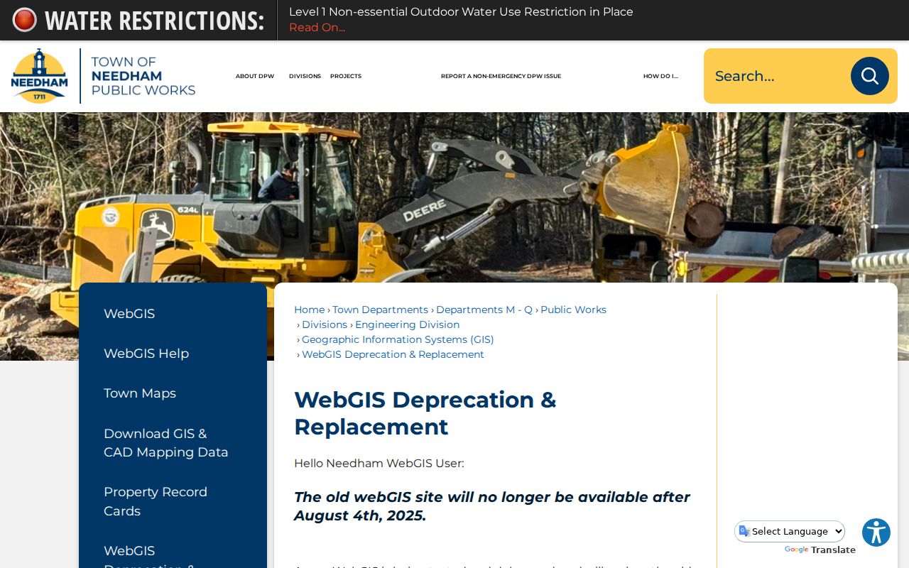
A blank or incorrect display can also be a browser issue. The WebGIS Help page posted a Firefox 145 compatibility notice in November 2025, so record the access date and portal notice with any map result.
The former GIS was retired in 2025, which makes old bookmarks and saved screenshots a specific risk. Reopen the current viewer before relying on a map result, and note the active system and access date in a research log.
Needham Neighbor Sources Compared
Official records are dated and narrow, which is useful. A commercial neighbor-lookup category may combine marketing, property, and address data, but it can be stale or misidentify people. It should not replace the relevant town, Registry, or state custodian when the question is geographic, historical, or civic.
| Source type | Best use | Important limit |
|---|---|---|
| Official parcel and assessor records | Map a property and identify the fiscal-year property display. | Does not prove a present household or social connection. |
| Registry deeds and plans | Examine a legal instrument, lot, or abutter reference. | Recorded party information is not a current-neighbor roster. |
| Commercial neighbor tools | None for an official confirmation. | May be inaccurate, stale, or mix unrelated records. |
For a property question, return to the source that created the record: Needham for a fiscal parcel display, the Registry for a legal instrument, and the Town Clerk or state election office for the applicable public voter route.
Needham Neighbor Privacy Boundaries
Parcel adjacency cannot reveal a complete household, an unlisted contact method, delivery details, motor-vehicle address, protected voter location, minor information, or a social relationship between nearby owners. Massachusetts voter-access rules exclude confidential-voter data and other protected fields from ordinary public files. The state individual voter lookup requires a person’s name, date of birth, residential ZIP, and agreement, and it is not a block-browsing tool.
The Massachusetts Address Confidentiality Program provides a substitute address and mail forwarding for eligible participants. Court seals, vital-record restrictions, police exemptions, and other redactions must also be honored. Do not try to reconstruct a protected address from public maps, property records, or adjacent parcels.
Lawful use. Needham neighbor research can support geographic curiosity, local history, and a careful property question. It must not be used for surveillance, harassment, intimidation, or exposure of protected information.
Note: A map result should remain a geographic record, with its date and source, rather than a claim about a person’s relationships.